
How to Search Huntington Property Records by Custodian
An address search works best as a chain. Enter the address in the Cabell County Assessor GIS or tax-map series first. It resolves to a district, map, parcel, and sub-parcel. From there, the County Clerk holds the deed and related instruments. The Sheriff's tax portal adds ticket and payment context. Check the county map and the municipal line before turning to city hall for permits or zoning. Huntington property records live across all these offices. No single lookup answers title, tax status, parcel location, and building history at once.
- Locate the address in Cabell GIS or the county tax-map folders, and copy its full parcel key.
- Search the Cabell County Clerk IDX for the latest deed using the likely grantee and date range.
- Check the Sheriff ticket and Assessor assessment context with the same parcel key.
- Confirm whether the parcel sits inside Huntington’s municipal boundary and whether a historic overlay applies.
- Search Huntington’s Tyler Public Information Search by permit type, number, or service address, then confirm any planning question with the city.
The countywide Cabell property-search route shows how one tax-map key links the separate county systems. This page stays with Huntington's boundary, permit, and neighborhood context instead.
Where Huntington Property Records Are Kept
Cabell County keeps the deed, tax-map, assessment, and tax-ticket records. Those cover every parcel in its jurisdiction. Huntington, for its part, holds permits, zoning, boundary, floodplain, development-review, and historic-preservation files. Those apply to city matters. There is one catch. The city spills into Wayne County, so settle the parcel's county first. Then choose a land-record custodian.
Cabell County Records
The County Clerk records deeds and maps; the Assessor and Sheriff handle assessment, parcel, and tax-ticket context.
Huntington Permits and Zoning
800 5th Avenue, Room 100C
Huntington, WV 25701
304-696-5540
Huntington Neighborhood and Plat Leads in County Records
Cabell County publishes no verified list of Huntington subdivision plats with dates and book references. The names here are neighborhood leads for a Clerk map-book search. They make no claim about a recorded label. No plat is promised under any particular name. Confirm the named tract through the deed, map book, and parcel description.
| Neighborhood / Subdivision | Era | In the Records |
|---|---|---|
| Guyandotte historic lots | Not established by the inspected plat sources | Search Guyandotte and Huntington Guyandotte map vocabulary, then verify the plat in Clerk Map Book. |
| Downtown and riverfront blocks | Individual plat dates not verified | Use the deed legal description and recorded map to connect old blocks to current parcels. |
| West End and Highlawn-area leads | Subdivision era not verified | Research leads only; confirm exact plat names, dates, and book/page before citing. |
For a lot-level search, carry any plat name or lot-and-block reference into the County Clerk's Map Book, Deed with Map, and Surveyors Record Book types. Then lay the recorded map beside today's parcel key. The county parcel-map guide walks through the current GIS and the older tax-map folders.
What Huntington Property Records Can and Cannot Show
A parcel search can tie land to a recorded deed, tax assessment, tax ticket, map, permit, zoning district, or historic-review file. Each item carries its own jurisdiction and date. Read them with care. A parcel shape does not prove the legal line. A permit entry does not prove ownership. An assessment is not a market appraisal. When city and county address labels disagree, match the land through the county parcel key and deed description before treating two entries as one property.
Lawful use. Use Huntington records for property diligence, local history, and civic review. Do not use an owner name or address to stalk, threaten, or harass anyone.
Huntington Property Records Cross River and County Edges
The city sits on the Ohio River where West Virginia, Ohio, and Kentucky meet. That river setting shapes its records. The urban area and the county line are not the same thing. Huntington also reaches into Wayne County. A mailing address alone cannot tell you which county's deed index holds the parcel. Begin with the physical address. Confirm the county and tax district in GIS, then use the matching deed custodian.
Older records can also carry a district, street, or neighborhood name. It may differ from today's postal line. For a historic property, compare the current key with a recorded plat. Use older map vocabulary too. Searching by name alone rarely settles it.
Huntington Property Records Use Guyandotte Map Vocabulary
The Assessor's PDF directory carries Guyandotte and Huntington Guyandotte folders alongside the annual Cabell maps. Both labels are useful search terms. They open doors in older deeds, maps, directories, and tax books. But a label is not proof. A parcel may not sit inside a particular modern municipal boundary. Confirm the district and parcel description against the current GIS and the County Clerk instrument. Rely on it only after that check.
When a street search returns no deed, try the older locality name. Then compare grantor and grantee. The name is only a clue. The legal description is the link that shows whether the same tract is in play.
Huntington Property Records Include a Tyler Permit Lookup
The city Tyler portal offers a Public Information Search built on three fields. Enter the service address exactly as it appears on the permit. The county situs format may not match. Contractor access is a separate track that requires city licensing. It is not needed for the public search.
| Search field | What to enter | Huntington use |
|---|---|---|
| Permit Type | Select the type shown for the project | Narrow the public information search. |
| Permit Number | Use a known permit identifier | Find a specific permit record. |
| Service Address | Enter the address used for the work | Compare with the county situs and parcel. |
The city notes that online application and payment are only a first step. Review timing varies by permit type and documentation. A permit result documents city processing. It does not convey title or replace the Clerk deed. Huntington's Tyler Public Information Search lists permit type, number, and service address.
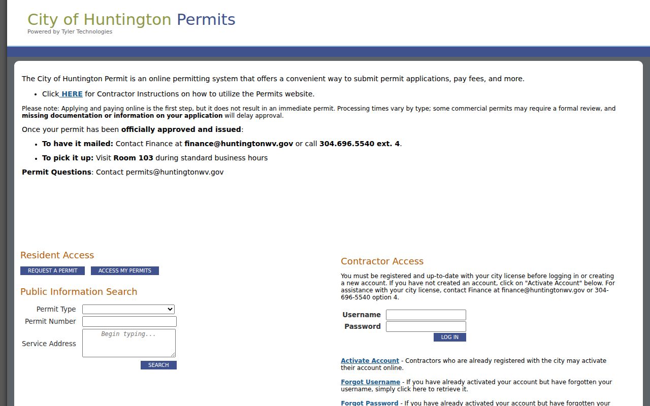
Use the permit address to link a city work record to the correct county parcel. Similar street names can otherwise point you to the wrong property entirely.
Huntington Permit Records Cover More Than New Construction
A permit in Huntington reaches beyond new construction. The city also requires one for enlargement, alteration, repair, moving, or demolition. Occupancy changes need one too. So does regulated electrical, gas, mechanical, and plumbing work. Its building page cites IBC 2018, IPC 2018, NEC 2020, and NFPA 1-21. The posted application fee is $20. The total building permit fee depends on labor and material cost. Confirm current fees and code details with the city before planning a project.
Applications go online through Tyler or in person at the permitting office. Kim Estep is the listed contact at 304-696-5540 ext. 2003 and permits@huntingtonwv.gov, Monday through Friday, 8 a.m. to 4 p.m. Remember that a historical permit lookup is a separate task from applying for new work. Huntington's building-permit page lists both the application route and the contact information.
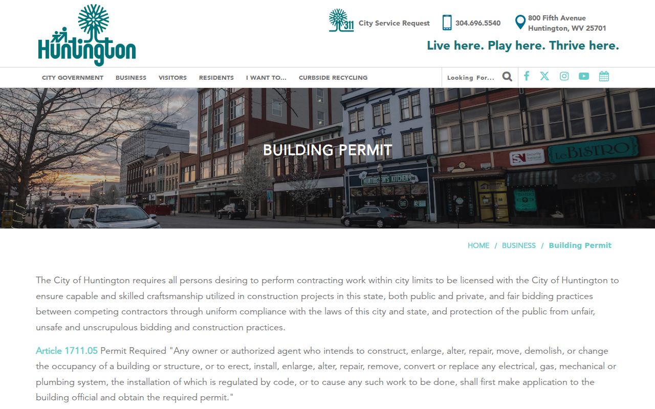
The city posts its own permit rules, so check Huntington's current page before any project.
Huntington Property Records Need a Zoning and Historic Check
Zoning is a city question first. Planning and Zoning offers zoning-map and boundary lookup, floodplain management, development review, and staff support for the Board of Zoning Appeals, the Planning Commission, and the Historic Preservation Commission. A historic property may need a Certificate of Appropriateness before exterior work, demolition, relocation, appearance changes, or signage. A county parcel map or deed will not answer these land-use questions.
Planning & Zoning sits at 800 5th Avenue, Room 100C, Huntington, WV 25701, telephone 304-696-5540 option 3. Listed hours run Monday through Thursday 8 a.m. to 4 p.m. and Friday 1 p.m. to 4 p.m. Confirm office details before visiting. Huntington Planning and Zoning provides map, boundary, floodplain, and historic-review information.
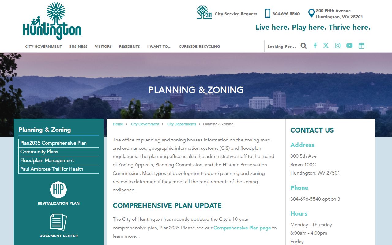
Confirm the parcel in county GIS, then route the zoning question with the city map.
Huntington Property Records Should Not Rely on ZIP Alone
Huntington addresses commonly use several 257xx ZIP codes. The list includes 25701, 25702, 25703, 25704, 25705, and 25719 through 25727. The city publishes no exact USPS delivery, PO-box, or unique ZIP boundaries. Check each address through USPS, then compare the parcel against county and city boundary layers. Postal geography is not a legal jurisdiction.
This matters when a permit question and a deed question go to different offices. A Huntington mailing city can sit outside the municipal limit. It may also fall near the Wayne County edge. Confirm the parcel's district and boundary. Do this before treating a city address as a city permit record.
Huntington Property Records Show Class-Specific Tax Context
The Assessor FAQ lists the 2026 Huntington Class 2 rate as 1.67520 and Class 4 as 3.35040. Class 2 means owner occupied. Class 4 means non-owner occupied. West Virginia assessment uses 60% of appraised or true-and-actual value under the cited rule. These figures help explain a tax calculation, but they do not state a sale price or current market value. Confirm class, exemption, and district for the specific parcel.
The city's BUILD WV district page describes a district encompassing Huntington city limits plus qualifying projects within 20 miles. Treat that as development context, not a promise that a specific house will rise in value. Compare assessment, deed consideration, and the tax ticket separately.